

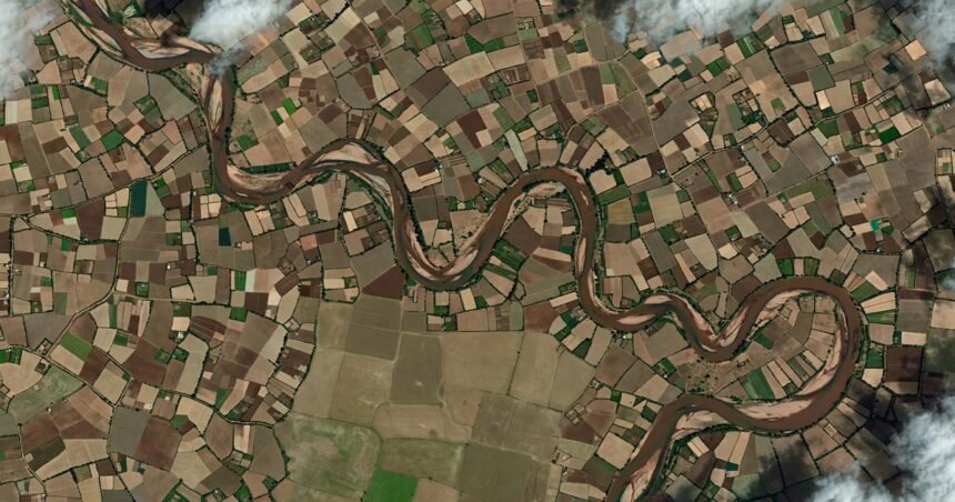
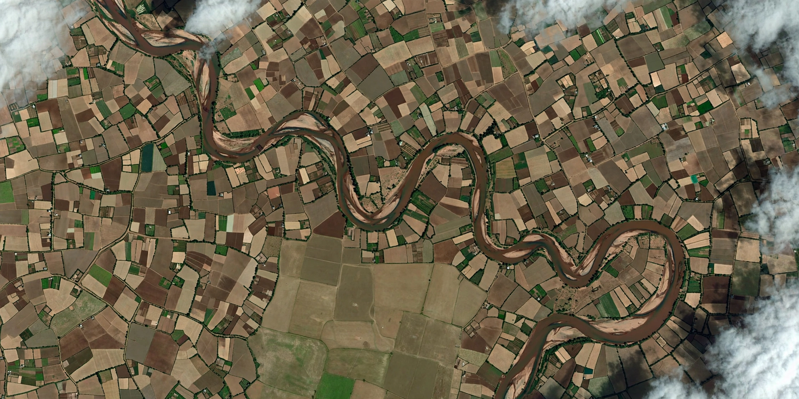
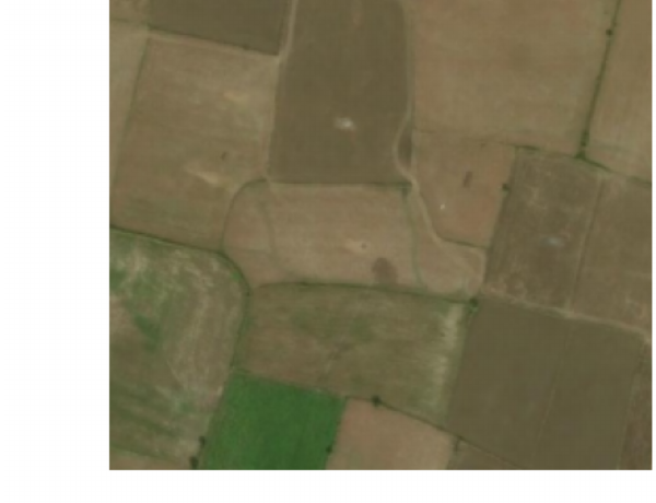
Look down at India from orbit and the farmland dissolves into a patchwork of tiny plots. More than eight in ten Indian farms are smaller than 0.4 hectares, divided by earthen bunds barely a metre wide, and for half the year the monsoon hides them under cloud. The great Earth-observation models of the world were built for the vast, clear-skied monocultures of America and Europe, and over Indian fields they stumble: a single 10-metre satellite pixel swallows four family holdings at once, and the clouds swallow the rest. An Indian research team has spent the past year building a model that begins with Indian fields instead of adapting to them.
Sphitih AI has published Vyom 1.0 — Vyom-205M — a 205-million-parameter foundation model for agriculture that the team describes as India’s first sovereign, multi-sensor agricultural foundation model, trained entirely from scratch. It reads four streams of data at once: sub-metre aerial imagery, 12-band Sentinel-2 optical time series, all-weather Sentinel-1 radar, and soil chemistry — and in a single pass it maps field boundaries, sees through monsoon cloud, tracks floods, and diagnoses crop stress parcel by parcel.
Built for the fields the big models cannot see
The team frames the problem as three walls. The first is the size of the fields themselves: with 86% of Indian farms under 0.4 hectares and bunds just half a metre to a metre and a half wide, standard 10-metre satellite pixels blur neighbouring family holdings — often growing different crops — into a single ambiguous square. The second is the sky: during the Kharif season, when 60% of India’s crops are sown, optical satellites face more than 75% persistent cloud cover, leaving gaps of 30 to 75 days right through peak growth. The third is compute: billion-parameter models demand multi-node GPU clusters or expensive foreign cloud APIs, putting real-time analysis out of reach for state remote-sensing centres and district agriculture offices. Vyom 1.0 is designed to run on a single 24 GB GPU workstation, so it can work on-premise, inside the country, without sending data anywhere.
Four jobs in a single forward pass
One model does four jobs. The first head maps field boundaries, scoring 82.30% parcel extent IoU and 90.29% F1 across 349 held-out Indian scenes, separating touching family plots instead of merging them. The second turns radar into cloud-free optical images, reconstructing what the monsoon hides with 0.8924 structural similarity. On the international Sen1Floods11 flood benchmark across ten countries, the team reports Vyom scores 75.81% water IoU — ahead of NASA and IBM’s Prithvi at 68.4% and Stanford’s CROMA at 71.4%. And the fourth head reads crop stress across six categories, flagging flood and waterlogging with 81.25% recall, soil salinity with 83.33% recall, and early moisture deficit with 77.87%.
Why it matters
India runs on small farms, and small farms run on knowing exactly what is happening in each plot. Crop insurance needs to know precisely which field flooded. A district officer needs to know which fields are drying out before the crop is lost. A soil-health programme needs to tell salinity apart from drought. A model that can tell one 0.28-hectare plot from its neighbour turns satellite data into answers a farmer, an insurer and a district office can actually use — and because it runs on ordinary hardware inside the country, those answers stay in Indian hands. If Vyom scales the way its makers plan, the satellite watching over Indian farms will finally be one that understands them.
Keep reading: The Robot That Reads the Earth: Inside Uncharted AI, the Bengaluru Startup Mapping Critical Minerals Without Drilling · Teaching Robots to Use Their Hands: Inside Human Archive’s 500 Hours of India at Work · More Industrial Automation & Technology stories
More Read

Like stories like this? Add Exceptional Technology as a preferred source on Google to see more of our reporting in your search results and Discover feed.