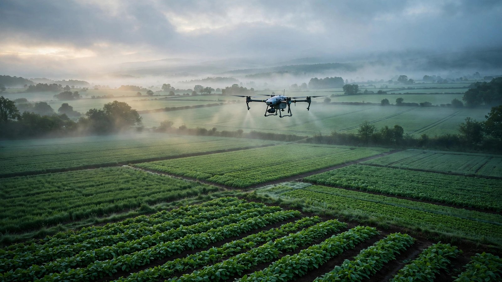


Ask a bank to lend against a farm in rural India, and the first question is rarely about the crop. It is about the land itself: who owns it, where exactly its boundaries run, what it grows, and whether the paper matches the ground. Across much of rural India, those answers live in different places — revenue maps in one office, satellite pictures somewhere else, crop histories in a third — and pulling them together can take weeks of legwork.
Terrastack, a Mumbai startup founded in January 2024, is building the layer that brings all of it together. Founded by Aaryan Dangi and IIT Bombay computer science professor Milind Sohoni, and incubated at SINE, IIT Bombay, the company says its spatial intelligence platform turns satellite imagery, mapping tools and digital land records into decision-ready answers about any location in India.
The platform works in three layers. First, geospatial mapping digitises land boundaries and ownership patterns. Then, data infrastructure tools let governments and enterprises analyse that land data. Finally, digital platforms simplify the transactions, verification and governance that sit on top of it. The company says it draws on more than 200 data sources, and can deliver a report in under five minutes.
Its flagship product is the GeoProfile report: land and property intelligence as an exportable report, covering ownership and records, satellite boundary reconciliation, cropping revenue estimated from yield and support prices, climate resilience, and village context. Alongside it sits TerraView AI, an enterprise map view with spatial risk overlays and heatmaps, and developer APIs that plug the same intelligence straight into underwriting workflows and branch planning tools.
The scale of the map the company is building is striking. The company says it has integrated land records, farm-level satellite data, crop activity, climate signals and market data for more than 140 million hectares of farmland in India, with 4.2 million parcels mapped across 742 districts. It already counts paying customers in agri-lending and micro-enterprise lending, with enterprise pilots under way with major financial institutions — helping banks and NBFCs underwrite rural and semi-urban borrowers with confidence, and helping governments plan better.
The work is drawing international attention. In September 2026, Terrastack was selected for Google’s DeepMind Accelerator: AI for the Planet, one of four Indian startups in the Asia-Pacific cohort, joining a programme built around frontier AI models for urgent environmental challenges. In its July–September 2026 update, the company launched eleven new locality signals scored anywhere in India, and opened a consumer Map View to the public — and its September 2026 research report used the same engine to map how much public open space Mumbai’s 1.6 crore residents actually share.
More Read

Because the platform handles data for banks, NBFCs and government programmes, the company says its systems are held to independently audited standards, including ISO 27001 certification. For the farmer at the end of all this data, the promise is beautifully simple: a field that can be seen, verified and valued, without the weeks of paper-chasing. For India’s lenders, insurers and planners, it is something larger — a living map of rural India, built from its own records and its own skies, ready to power the next decade of rural growth.
Keep reading: Tractors Were Too Big for His Farmers. So He Built Smaller Ones: Inside Balwaan Krishi, the Jaipur Startup Mechanising India’s Small Farms · Pond to Port: Inside Aquapulse, the Bhubaneswar Startup Giving India’s Shrimp Farmers a Tech Backbone · More Food Processing & Agri-Tech stories
Like stories like this? Add Exceptional Technology as a preferred source on Google to see more of our reporting in your search results and Discover feed.