

Some maps take centuries to draw. Aereo drew one for 65,000 Indian villages in a few short years — from the air, with drones it designed and built itself. The Bengaluru company is the largest drone-solutions provider for the government’s SVAMITVA scheme, the programme giving rural families legal proof of the homes they live in. Its aircraft have mapped more than 70,000 square kilometres in Karnataka and the entire state of Haryana, and its survey-grade drones now fly over some of India’s biggest mines.
The drone that measures to five centimetres
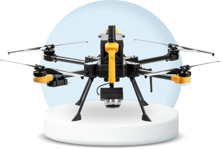
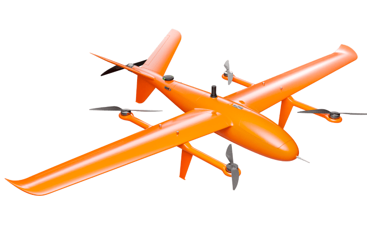
At the heart of it all is the Insight, Aereo’s flagship survey drone. Built around an indigenous PPK GPS system, it flies fully autonomous missions and maps the ground below to within five centimetres — close enough to settle where one family’s plot ends and the next begins. A single flight covers 250 to 1,000 acres, collecting more than two million data points that Aereo’s cloud platform turns into orthomosaics, elevation models and maps ready for government records.
The Insight was the first drone in the small category to be certified by the Directorate General of Civil Aviation, back in 2019 — a first for an Indian startup. The company holds 15 patents around its aircraft and software, and its drones are designed and manufactured in India.
65,000 villages, one map at a time
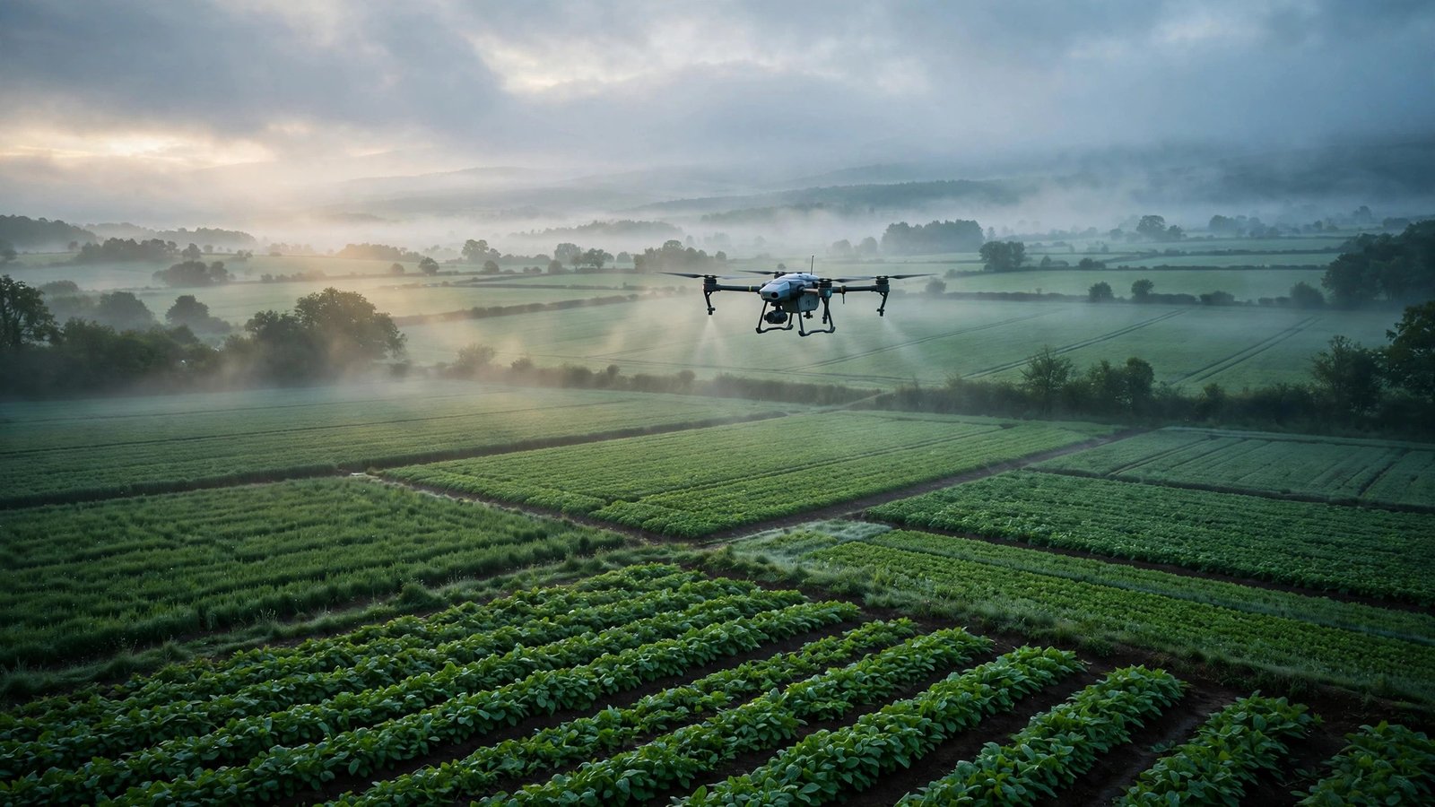
Under SVAMITVA, the Survey of Villages and Mapping with Improvised Technology in Village Areas programme, drones map village land so families receive property cards — legal documents that turn a home into an asset that can be borrowed against, inherited and defended. Aereo has mapped around 65,000 villages across Madhya Pradesh, Uttar Pradesh, Maharashtra, Uttarakhand and Rajasthan, according to NITI Aayog — work that puts the company at the centre of one of the largest drone-mapping exercises anywhere in the world.
It is painstaking work with a very human payoff: for millions of rural Indians, a drone flight overhead is the first time their home has ever appeared on an official map.
Inside India’s biggest mines
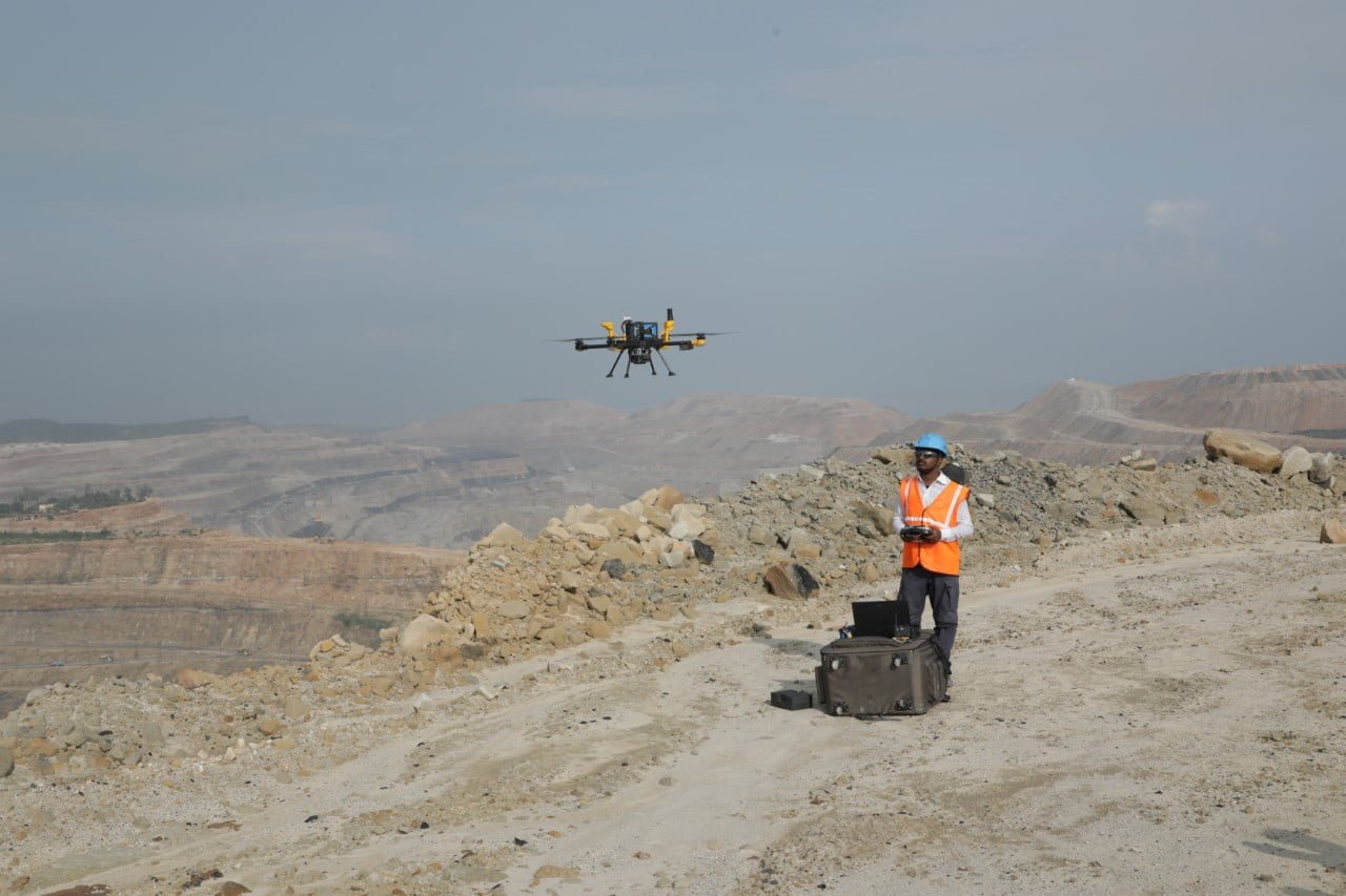
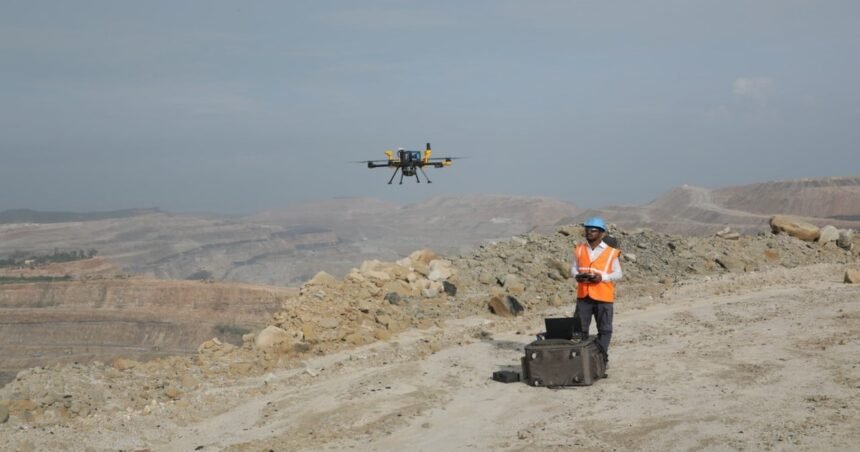
The same aircraft that map villages also fly over open-cast mines, where Aereo’s drones measure stockpiles, track excavation volumes and watch the structural integrity of pit walls — work that used to mean surveyors walking dangerous benches. The company won the largest drone-solutions contract ever awarded by Coal India, a $1 million, three-year engagement covering seven mines across Northern Coalfields and South Eastern Coalfields, delivered with Accenture. Its work with the state miner was so convincing that Coal India’s rulebook now makes drone-based photogrammetry mandatory for volumetric assessment.
More Read

Tata Steel signed a memorandum of understanding with Aereo in 2022 to develop drone-based mine management, and the company’s client list now spans Adani Mining, UltraTech Cement, NTPC and Coal India — most of India’s major mining houses.
From a Kanpur lab to the country’s largest drone fleet
Aereo began in 2013 as Aarav Unmanned Systems, founded by Vipul Singh and Suhas Banshiwala in the research labs of IIT Kanpur, at a time when commercial drones in India were barely a conversation. The company rebranded as Aereo in 2022, and today employs a team of 500, including more than 300 engineers. It has collected honours along the way — Best Drone Company at the Assocham Civil Aviation Awards in 2022 and Best Tech Startup the same year — and the company says it has been profitable since 2019.
From village property cards to the pit walls of India’s biggest coal mines, Aereo’s drones have quietly mapped the country twice over — once for the people who live on the land, and once for the industries that work it.
Keep reading: The Drones That Hunt in Packs: Inside Kadet Defence, the Bengaluru Company Building India’s First Loitering Munitions · The Quantum Compass That Never Needs GPS: Inside QuBeats, the Hyderabad Startup Building Navigation for the Indian Navy · More Aerospace & Defense stories
Like stories like this? Add Exceptional Technology as a preferred source on Google to see more of our reporting in your search results and Discover feed.